Embarking on a sailing adventure with your family is an exciting and fulfilling experience, but planning a safe and efficient passage is crucial for a smooth journey. Learn the basics of navigation and charts, as well as step-by-step guidance to plan your passage.
How to Plan a Safe and Efficient Passage
Embarking on a sailing adventure with your family is an exciting and fulfilling experience. However, it’s essential to plan a safe and efficient passage to ensure a smooth journey. In this article, we’ll cover the basics of navigation and charts, as well as provide a step-by-step guide to planning your passage. So, let’s dive in!
Table of Contents
- Understanding Navigation and Charts
- Choosing the Right Charts
- Gathering Weather and Tidal Information
- Planning Your Route
- Calculating Course, Speed, and Time
- Preparing a Passage Plan
- Monitoring Your Progress
- Conclusion
Understanding Navigation and Charts
Before we delve into the process of planning a passage, it’s crucial to understand the basics of navigation and charts. Navigation is the art and science of determining your position and plotting a course to safely reach your destination. Charts are essential tools for navigation, providing a visual representation of the water and surrounding land, including depths, hazards, and navigational aids.
There are two main types of charts: paper charts and electronic charts. Paper charts are physical maps that have been used for centuries, while electronic charts are digital versions that can be displayed on a computer or chartplotter. Both types have their advantages and disadvantages, but it’s generally recommended to have both on board for redundancy and safety.
Key Chart Features
When using charts for navigation, it’s essential to understand the key features and symbols. Here are some of the most important elements you’ll encounter on a chart:
- Depth Contours: Lines connecting points of equal depth, usually measured in meters or fathoms. These help you identify shallow areas and safe channels.
- Navigation Aids: Symbols representing buoys, beacons, and other aids to navigation. These can help you identify your position and avoid hazards.
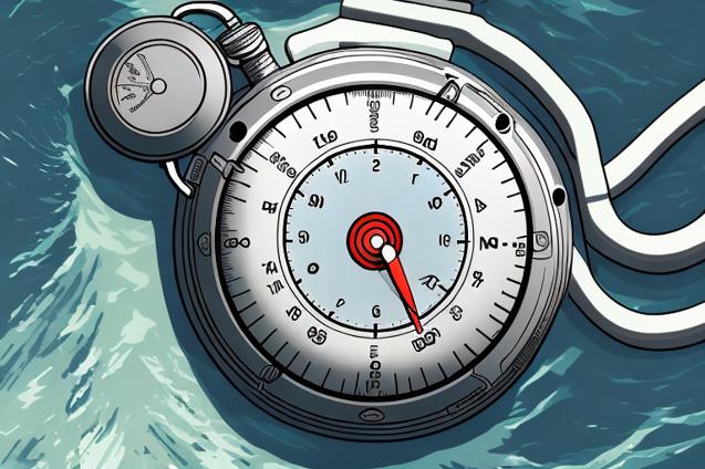
- Compass Rose: A circular diagram showing the cardinal directions (north, east, south, and west) and the magnetic variation for the chart area.
- Latitude and Longitude: A grid system used to define your position on the Earth’s surface. Latitude lines run east-west, while longitude lines run north-south.
- Scale: A ratio that indicates the relationship between distances on the chart and actual distances on the Earth’s surface. A small-scale chart covers a large area with less detail, while a large-scale chart covers a smaller area with more detail.
Choosing the Right Charts
When planning a passage, it’s essential to have the appropriate charts for your intended route. This includes both large-scale charts for detailed navigation in harbors and coastal areas, and small-scale charts for offshore and ocean passages. Here are some factors to consider when selecting charts:
- Coverage: Ensure the charts cover your entire route, including any potential alternate destinations or safe havens.
- Scale: Choose large-scale charts for detailed navigation and small-scale charts for an overview of your route.
- Edition: Use the most recent edition of the chart, as older charts may not include updated information on hazards and navigation aids.
- Format: Have both paper and electronic charts on board for redundancy and safety.
Gathering Weather and Tidal Information
Weather and tidal conditions play a significant role in the safety and efficiency of your passage. Before setting sail, gather the latest weather forecasts and tidal information for your route. This will help you identify potential hazards, such as strong winds, rough seas, or strong currents, and plan your passage accordingly.
Weather Forecasts
There are several sources of weather information available to sailors, including:
- Marine Weather Services: Many countries provide dedicated marine weather forecasts, which can be accessed via VHF radio, satellite, or the internet.
- Weather Apps: Numerous smartphone and tablet apps provide weather forecasts and real-time updates, including wind speed, wave height, and precipitation.
- GRIB Files: These are computer-generated weather prediction files that can be downloaded and viewed on chartplotters or navigation software.
Tidal Information
Tidal information is crucial for safe navigation, particularly in coastal areas with significant tidal ranges. Sources of tidal information include:
- Tidal Atlases: Books or charts that provide tidal stream information for specific areas, including direction and speed of currents.
- Tide Tables: Publications that list the times and heights of high and low tides for specific locations.
- Navigation Software: Many electronic chart systems and apps include tidal information and can calculate tidal heights and currents for your route.
Planning Your Route
With the appropriate charts and weather information in hand, you can begin planning your route. Here are some steps to follow:
- Identify Your Start and End Points: Mark your departure and destination points on the chart, as well as any intermediate waypoints or stops.
- Determine the Safest and Most Efficient Route: Consider factors such as water depth, navigational hazards, tidal currents, and weather conditions when selecting your route.
- Mark Waypoints: Identify key waypoints along your route, such as navigational aids, course changes, or potential safe havens.
- Measure Distances: Use the chart’s scale to measure the distance between waypoints and calculate the total distance of your passage.
Calculating Course, Speed, and Time
Once you’ve planned your route, you’ll need to calculate your course, speed, and time for each leg of the passage. This will help you determine your estimated time of arrival (ETA) and ensure you have sufficient supplies and fuel for the journey.
Course
Your course is the direction you’ll steer to follow your intended route. To calculate your course, use a parallel ruler or plotter to draw a line between your waypoints, then read the angle from the compass rose on the chart. Remember to account for magnetic variation when converting between true and magnetic courses.
Speed
Your speed is the rate at which you’ll travel along your route, usually measured in knots (nautical miles per hour). Factors that can affect your speed include wind, currents, and the performance of your boat. Use your boat’s speed under various conditions as a starting point, then adjust for expected wind and current conditions.
Time
To calculate the time required for each leg of your passage, divide the distance by your speed. This will give you the time in hours, which can be converted to minutes or days as needed. Add the time for each leg to determine the total time for your passage.
Preparing a Passage Plan
A passage plan is a written document that outlines your intended route, waypoints, course, speed, and time, as well as any relevant weather, tidal, and safety information. Having a passage plan helps ensure you’re prepared for your journey and provides a valuable reference for monitoring your progress.
Here are some elements to include in your passage plan:
- Route: A description of your intended route, including waypoints, course changes, and potential safe havens.
- Weather and Tidal Information: A summary of the expected weather and tidal conditions for your passage, including any potential hazards or challenges.
- Course, Speed, and Time: A table or list of your calculated course, speed, and time for each leg of your passage.
- Safety Information: A list of emergency contacts, such as coast guard or rescue services, as well as any relevant safety procedures or equipment on board.
Monitoring Your Progress
Once you’ve set sail, it’s essential to regularly monitor your progress and update your passage plan as needed. This includes:
- Position Fixes: Use GPS, celestial navigation, or visual bearings to determine your position and plot it on your chart.
- Course and Speed: Compare your actual course and speed to your planned values and adjust as needed.
- Weather and Tidal Conditions: Monitor the weather and tidal conditions and update your passage plan if significant changes occur.
- ETA: Update your estimated time of arrival based on your progress and any changes to your course, speed, or conditions.
Conclusion
Planning a safe and efficient passage is a critical aspect of any sailing adventure. By understanding navigation and charts, gathering weather and tidal information, and carefully planning your route, you can ensure a smooth and enjoyable journey for you and your family. Remember to regularly monitor your progress and update your passage plan as needed, and always prioritize safety and preparedness. Fair winds and following seas!